Routes · Hanyangdoseong, central Seoul
Seoul City Wall Trail.
서울 한양도성 순성길
The big one. The full 20 km loop of the old Seoul City Wall, over four mountains and past the great gates, the Blue House, DDP and N Seoul Tower. The most popular route in Seoul, and the real challenge is running all of it in one go.
- Distance
- 20.2 km
- Elevation
- 907 m
- Difficulty
- Hard
Course map
The route, on the actual map.
GPS-recorded track with points of interest along the way. Click any marker for the local context: water, toilets, CV stores, bridge crossings, photo spots.
- Distance
- —
- Elevation gain
- —
- High / low
- —
Loading map…
Hover the route or the elevation chart
- Distance
- —
- Elevation
- —
- Grade
- —
Restrooms, water fountains, and convenience stores near the route come from official Korean public open data (Seoul Open Data Plaza and data.go.kr). Hours can change, so treat them as a guide.
20.2 km +907 m Hard
How it runs
The route, in five parts.
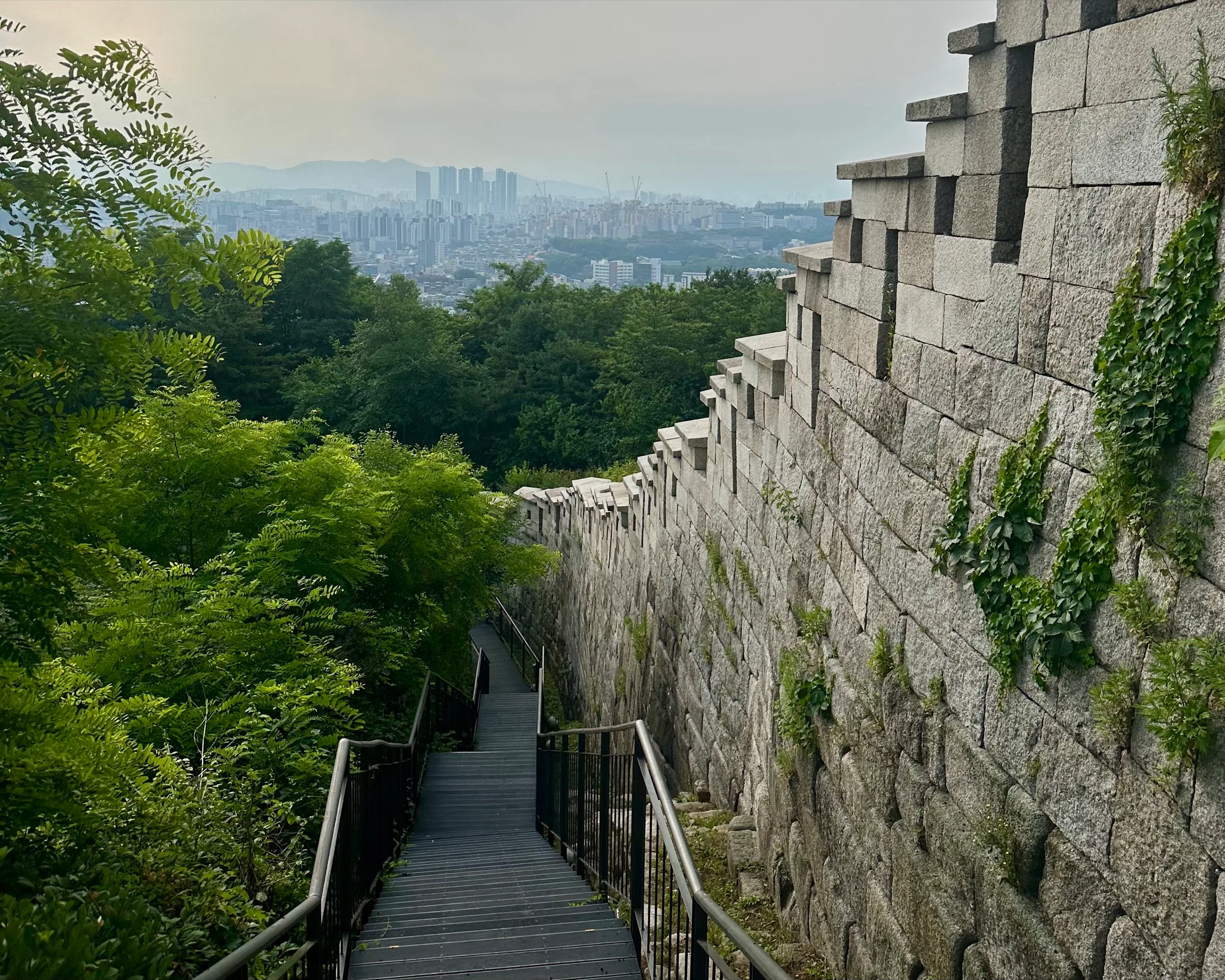
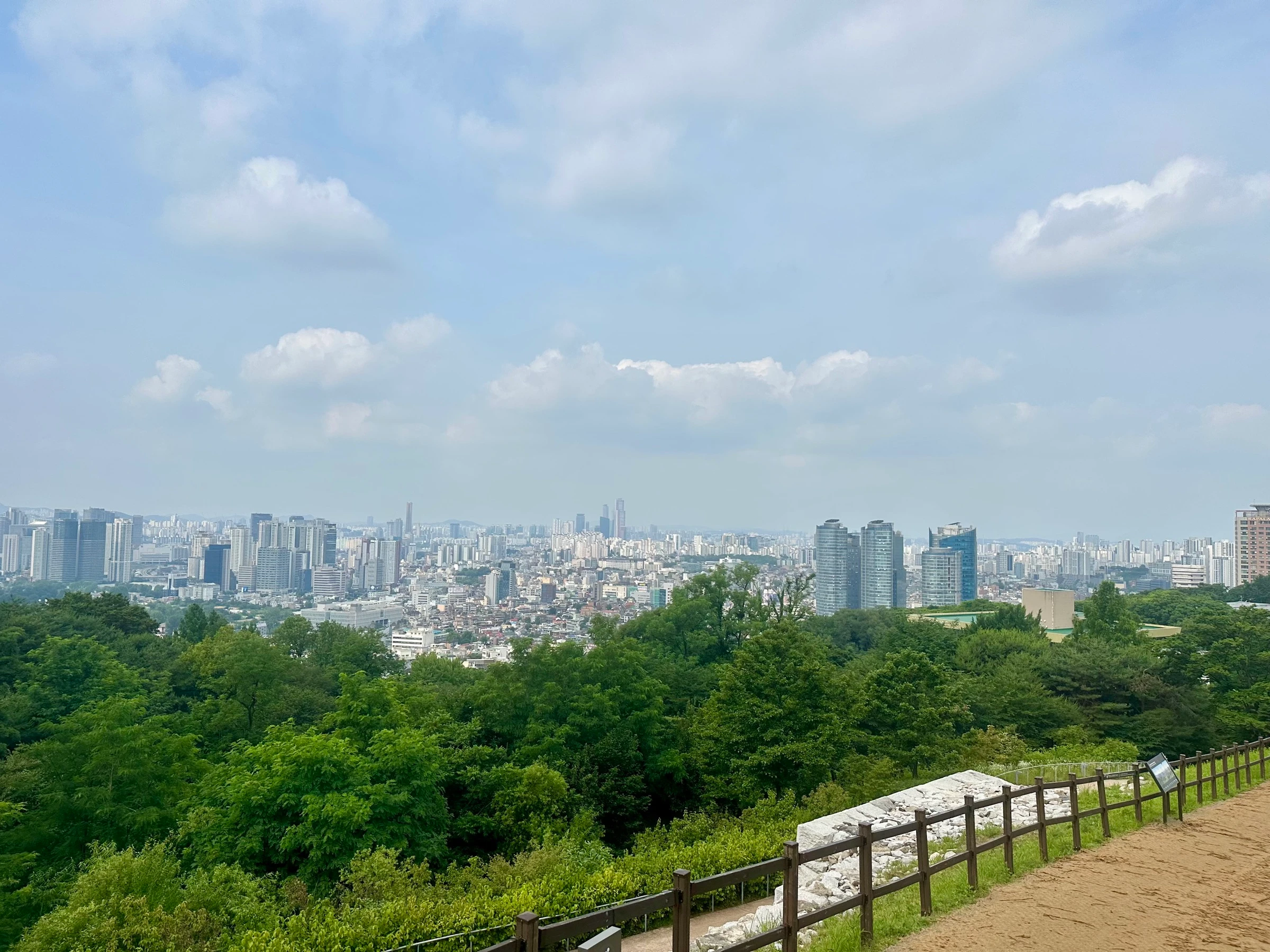
This is the one. The most popular route in Seoul and the most-saved on Garmin, yet most people only ever run a piece of it. The challenge and the reward is running the whole thing in one go: the entire old Seoul City Wall, the Joseon-era fortress that still draws a complete circle around what used to be all of Seoul. One run gives you four mountains, quiet backstreets along the palace, views down onto the Blue House, Gyeongbokgung and Gwanghwamun Square, then minutes later deep forest. My favourite moment is coming out of the trees straight into DDP, the Dongdaemun Design Plaza, a silver spaceship that appears out of nowhere, before the wall climbs back up to finish over Namsan.
Be warned: a half marathon that climbs the better part of 1,000 metres, over stone fortress wall, granite steps, rocky forest trail, springy track and clean pavement. Not easy, and one of the most fun and unique runs you can do anywhere. I run it from City Hall or Seoul Station, both big transit hubs, heading for Inwangsan first and looping around to finish on Namsan. That order matters: you bank two big mountains and huge views right away, and clear the busier trail before the crowds. Start early. I started at 5:30am and finished three hours later, and that was perfect.
- 01
Start near City Hall, pick up the west wall
We start near City Hall and Seoul Station and pick up the wall on its western run. Restrooms, a water fountain and a convenience store are all here, so top up before the pavement tips upward toward Inwangsan.
- 02
Up Inwangsan, the first big climb
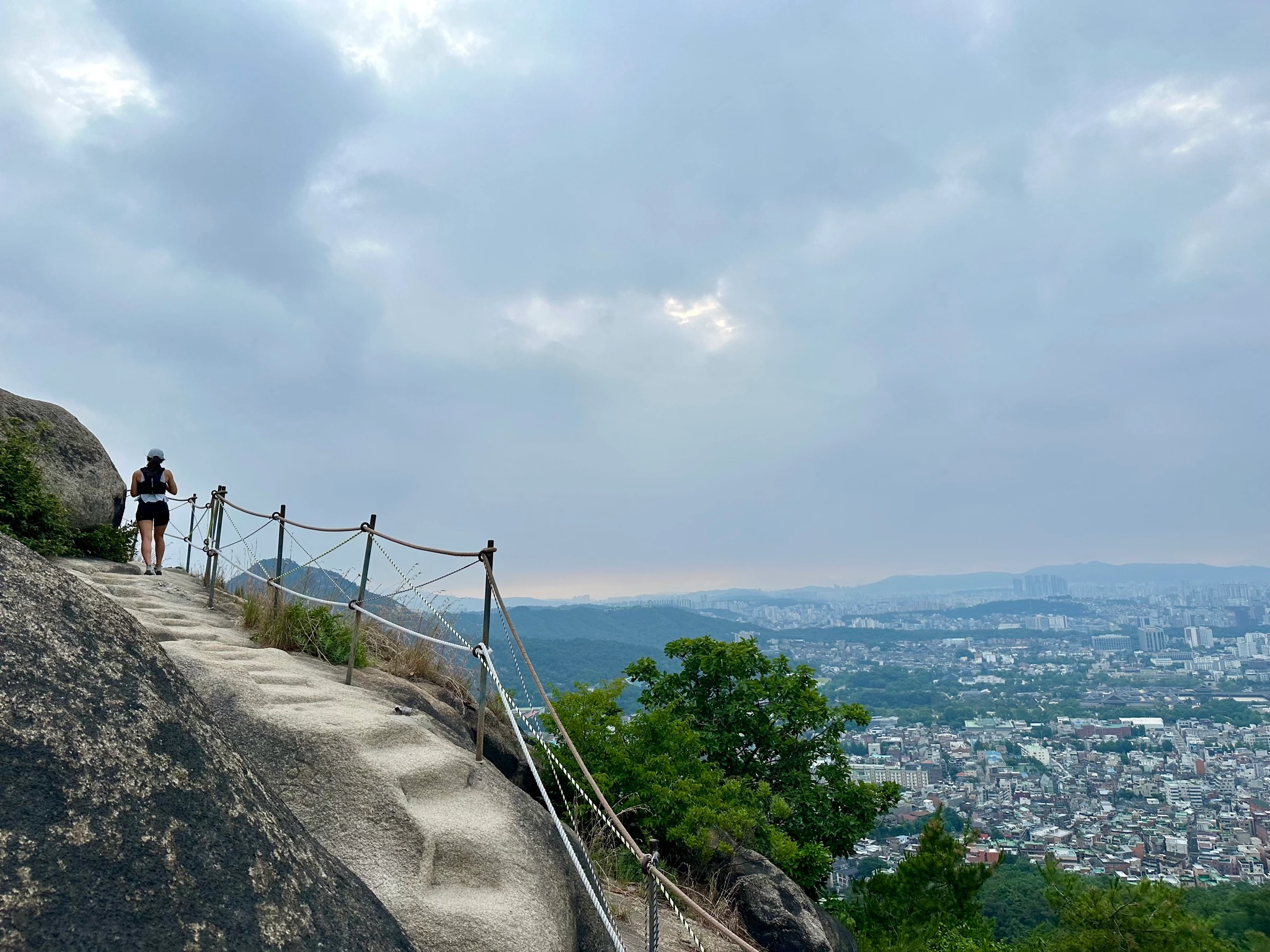
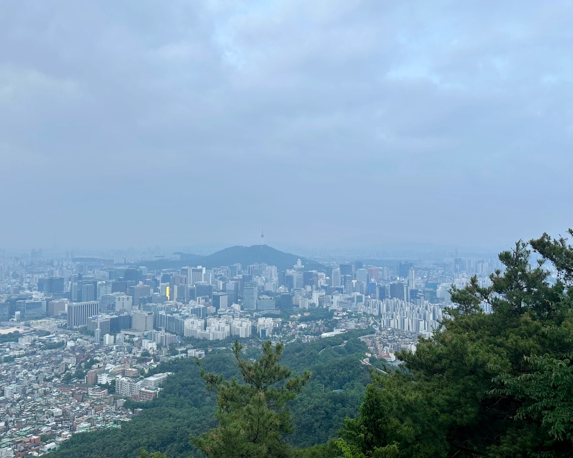
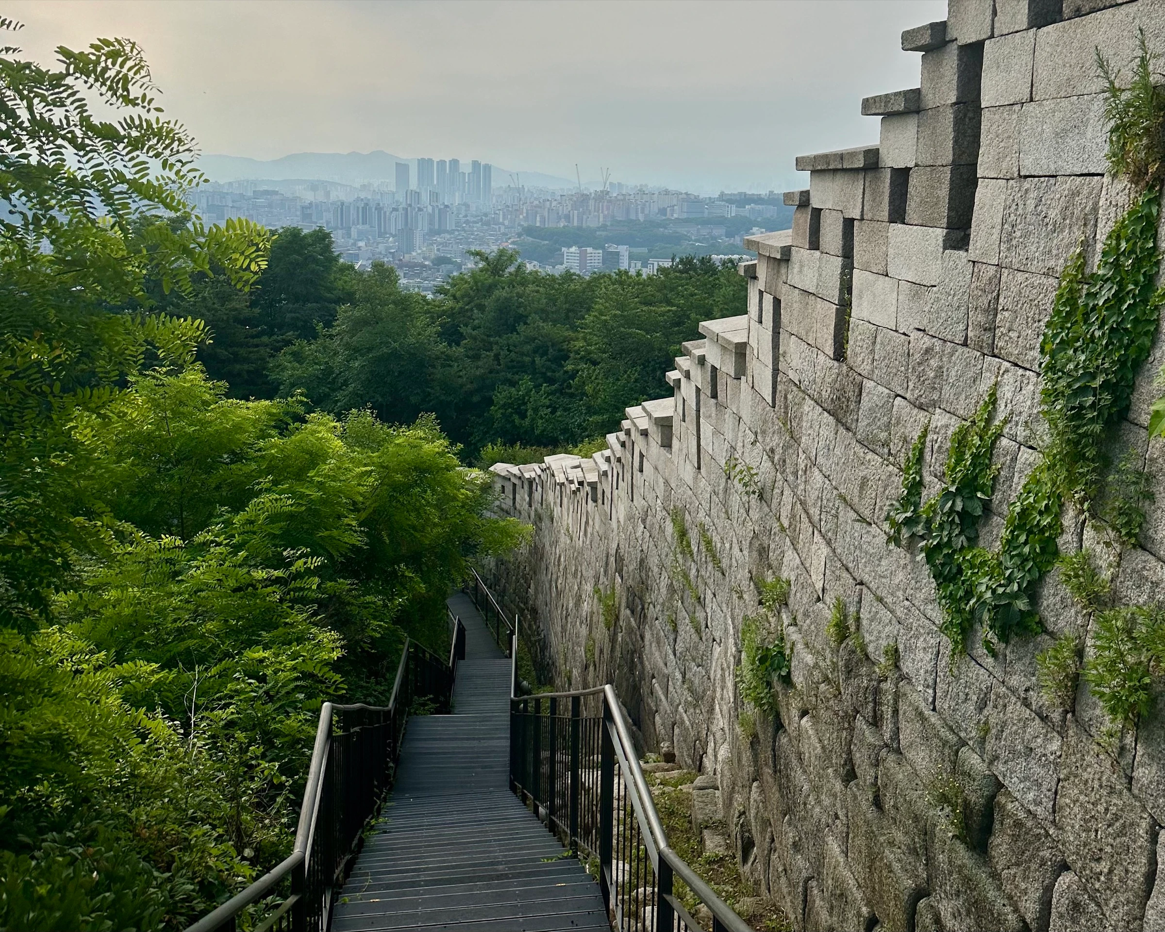
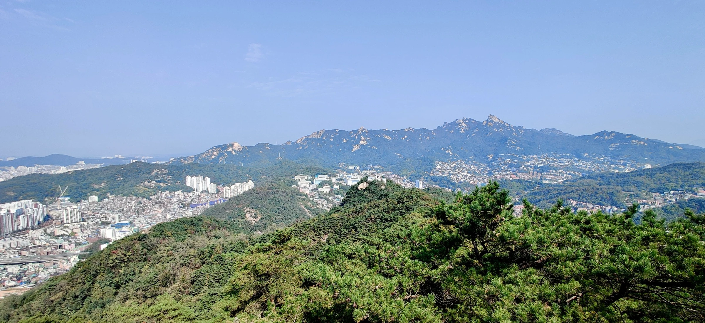
Straight into it. Inwangsan is granite, bare rock slabs and rope-and-post railings, with one of the best panoramas in Seoul almost immediately. The wall, closed to the public for decades after the 1968 raid on the Blue House, runs up the spine; from the top you already see Namsan and N Seoul Tower, where you finish.
- 03
Changuimun saddle up to Bugaksan
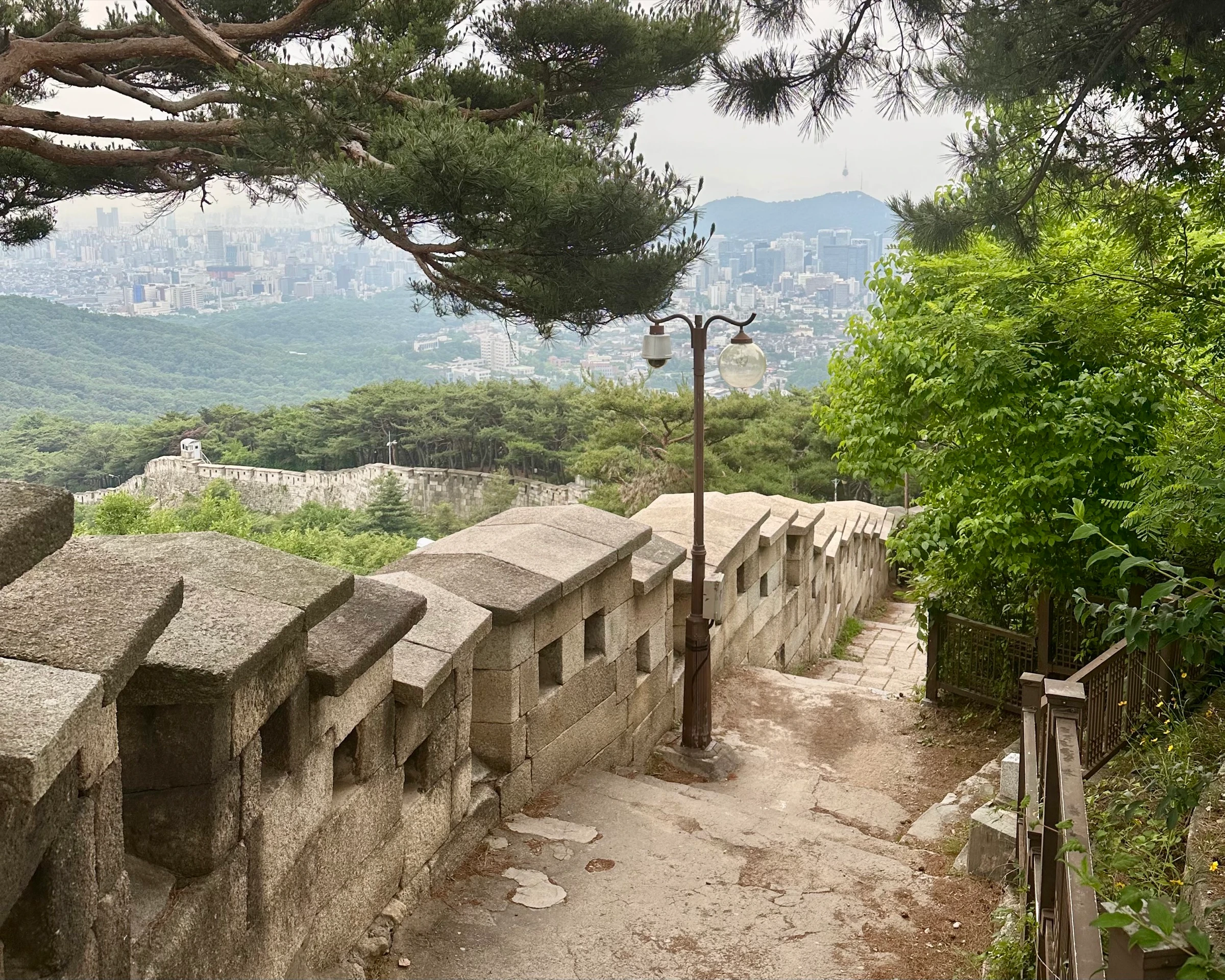
Drop to Changuimun, the best-preserved old small gate, in the saddle, then climb again. Bugaksan (Baegaksan) is the highest point on the whole wall, directly behind the Blue House, sealed off for over fifty years and only fully reopened in 2022. From the crenellated wall you look straight down onto Cheong Wa Dae and Gyeongbokgung.
- 04
Down to Hyehwamun and along Naksan
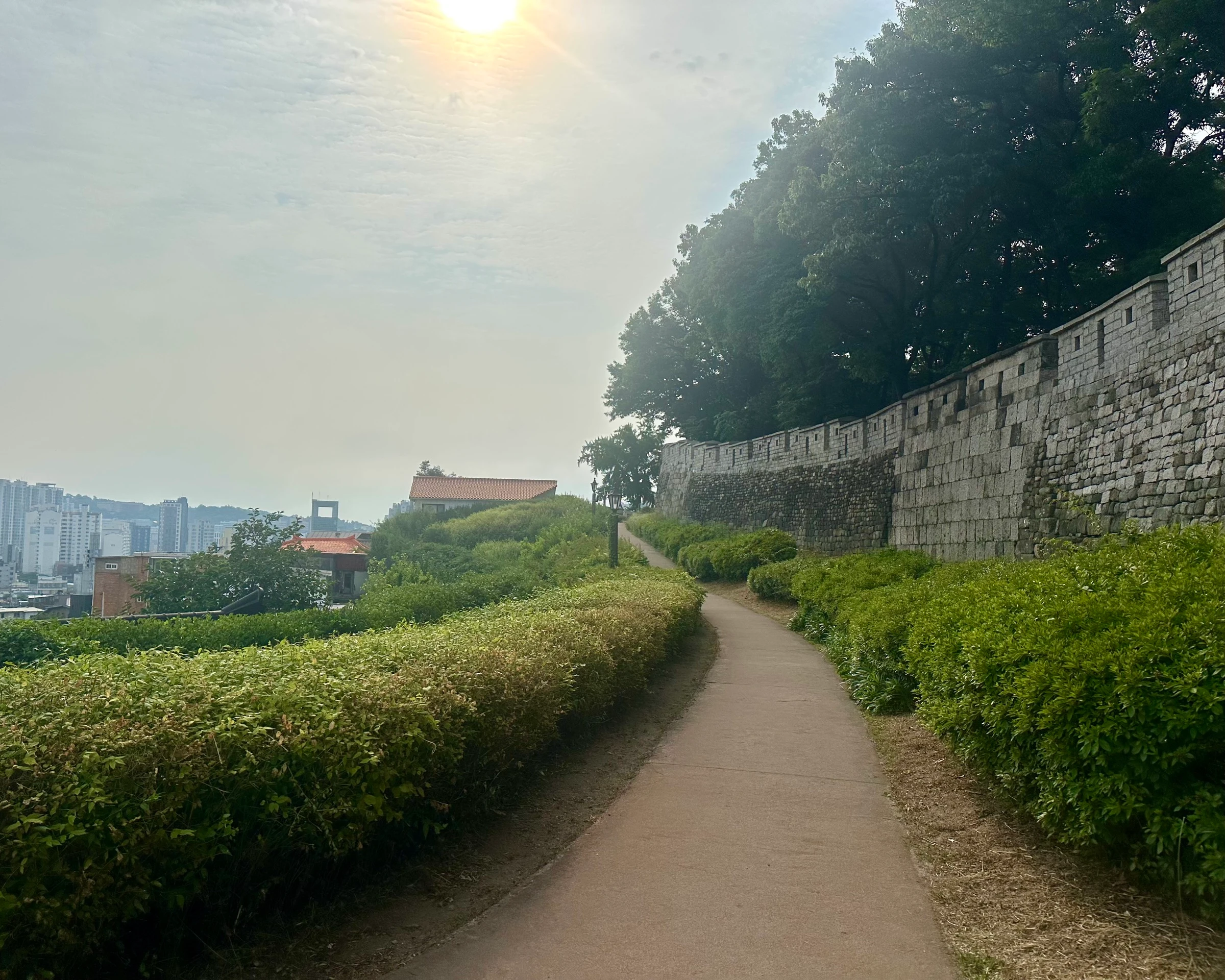
A long, often steep staircase descent off Bugaksan brings you to Hyehwamun and the gentlest part of the loop. Naksan is the little camel-backed hill on the east side, an easy ridge of wall with the Ihwa mural village just inside it. After two mountains, your breather.
- 05
Heunginjimun, then DDP appears
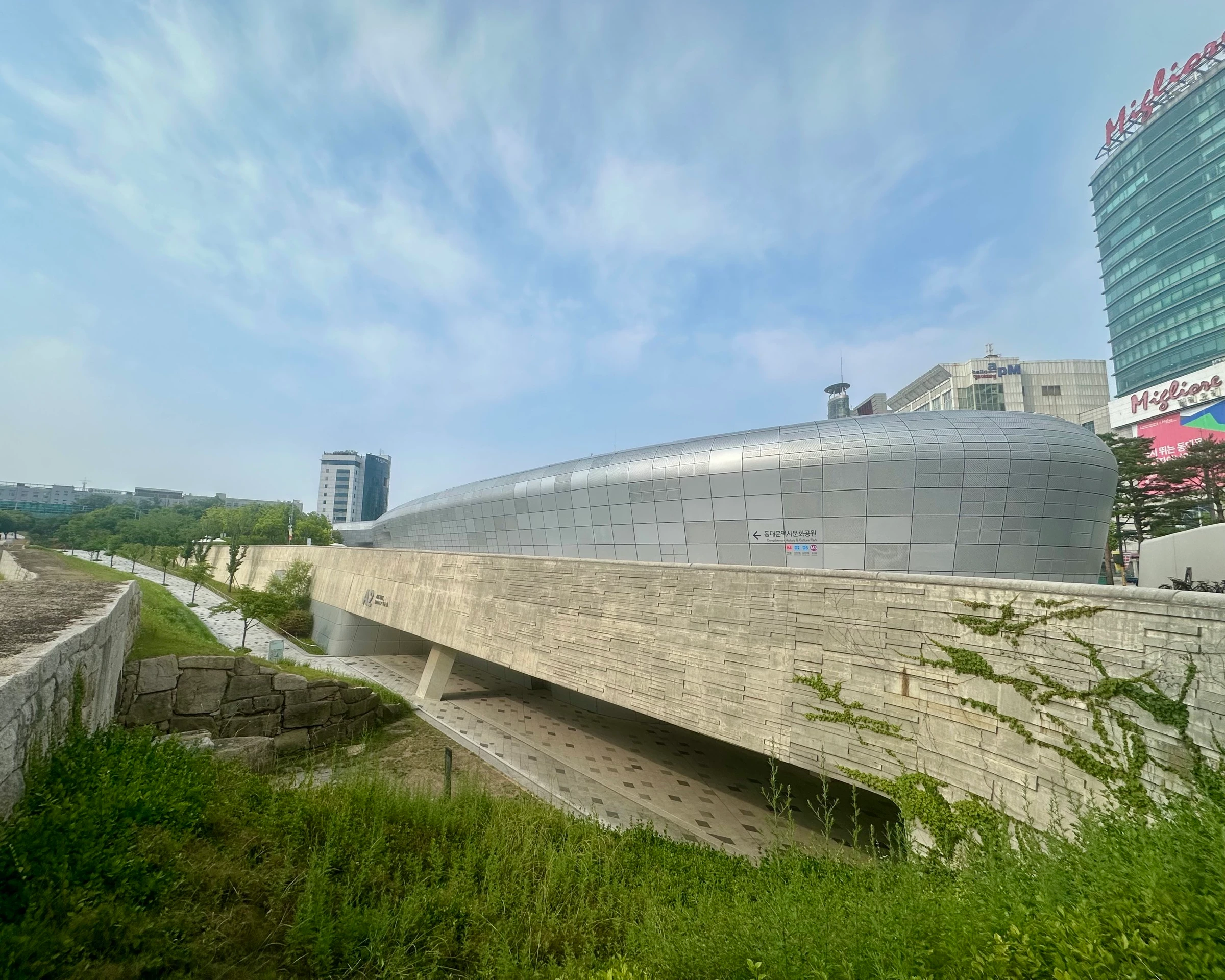
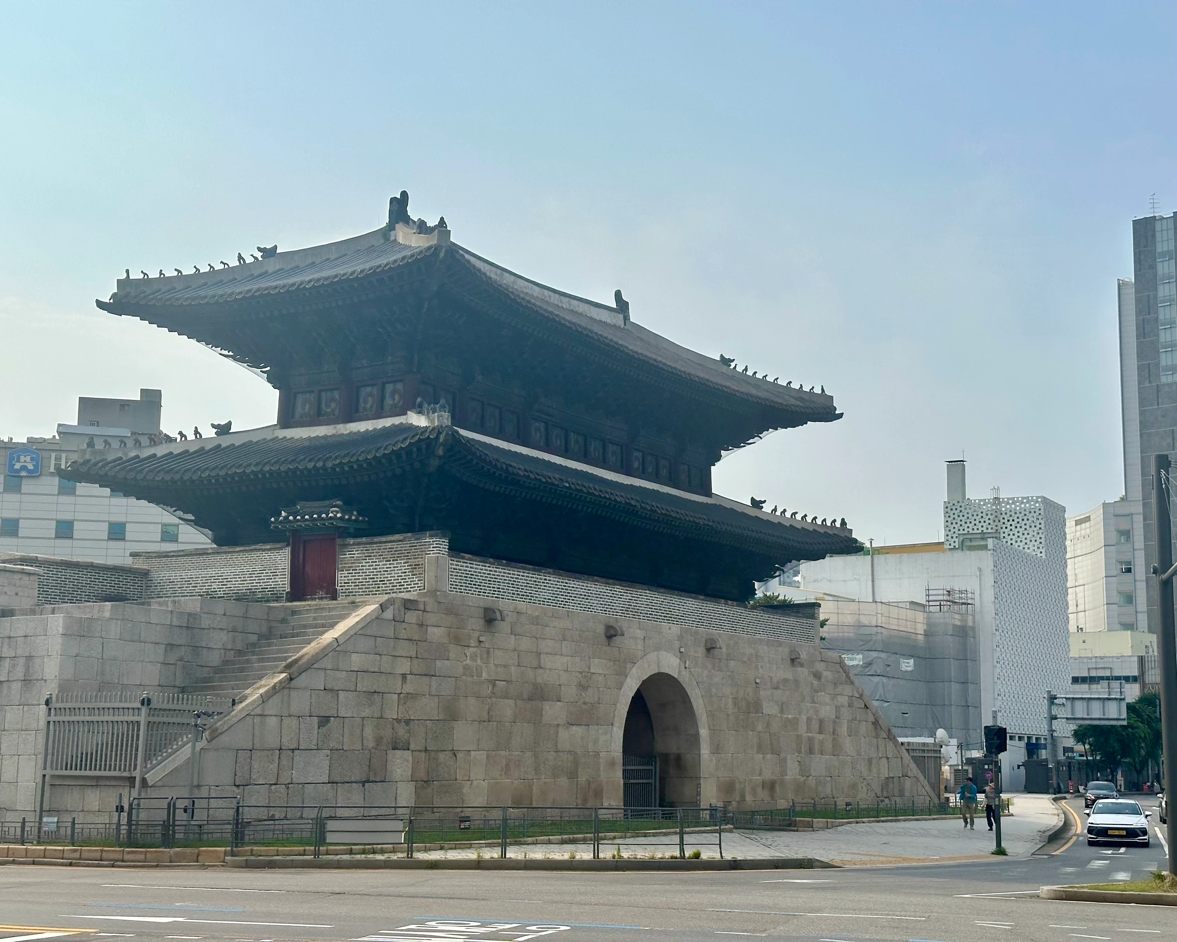
The wall drops to its lowest, most urban point at Heunginjimun, the Great East Gate, the only one ringed by a half-moon defensive wall. Then the moment the route is famous for: DDP, Zaha Hadid’s flowing silver landmark, rises out of nowhere, with an excavated section of the original wall and the old Igansumun water gate preserved beside it.
- 06
Gwanghuimun up to Namsan and the tower
Past Gwanghuimun the route climbs the last mountain. Namsan is the big finish: up through the trees to N Seoul Tower, the love locks, the restored beacon mounds and wall-side viewpoints over the whole southern city. Take your time at the top.
- 07
Down to Sungnyemun and finish
A steep descent off Namsan, then the wall runs back toward Sungnyemun (Namdaemun), the Great South Gate and Korea’s National Treasure No. 1, to close the loop where you started. Twenty kilometres, four mountains, the whole old city behind you.
Facts
Numbers, surfaces, fountains, toilets.
The things you actually want to know before you head out.
- Distance
- 20.2 km full loop (about a half marathon)
- Elevation gain
- +907 m, close to 1,000 m spread over four mountains, not one long grind.
- Mountains
- Inwangsan (~338 m), Bugaksan/Baegaksan (~342 m, the high point), Naksan (~125 m), Namsan (~262 m)
- Gates passed
- Sungnyemun (Namdaemun), Changuimun, Heunginjimun (Dongdaemun), Gwanghuimun, and the Hyehwamun saddle
- Surface
- Stone fortress wall and granite steps on the mountains, forest trail, springy track, clean city pavement in the low sections
- Shade
- Good tree cover on the mountains; exposed across the city-centre and gate stretches
- Water
- Fountains sparse: one near the start, otherwise convenience stores. Carry a bottle, especially in summer.
- Toilets
- Public restrooms at the start, on Bugaksan, around Namsan and the gates
- Convenience stores
- Base of Inwangsan, near Changuimun, by Dongdaemun, around Gwanghuimun
- Transit
- Start/finish at City Hall (Lines 1, 2) or Seoul Station (Lines 1, 4, AREX). Never far from a subway on the loop.
- Popularity
- The most-saved route in Seoul on Garmin
When to run it
Best time, best season, the honest caveats.
Best time of day
Early, and I mean early. The mountain trails, Inwangsan especially, get busy on weekends, and you want clear path to run. I started at 5:30am and finished around 8:30. A weekday dawn is the dream.
Best seasons
Spring (April–June) and autumn (September–November) for cool air on the climbs and the clearest summit views. Summer is doable at dawn with water. Winter views are stunning but the granite steps on Inwangsan and Bugaksan get icy.
Caveats and Plan B
- A genuine challenge: half-marathon distance with close to 1,000 m of climbing. Respect it, eat before, carry water.
- It is easy to get lost. The wall disappears into city backstreets in the low sections, where you follow markers. I made several wrong turns my first time; running it once with someone who knows it helps a lot.
- Start early. Inwangsan and the popular trail sections fill with walkers on weekend mornings, which will hold up a run.
- The Bugaksan/Baegaksan stretch behind the Blue House was a restricted military zone for decades. Most rules eased since it reopened in 2022, but carry ID and watch for any remaining no-photography signs.
- Water fountains are genuinely sparse for a route this long. You are always close to the city, so stepping off course for water or a bathroom is fine.
- The descents off Bugaksan and Namsan are steeper than the climbs and slick after rain. Take the stairs with care.
From me
The moment I always come back to is cresting out of the forest and finding DDP just sitting there like it landed from space, then climbing the last mountain to the tower I had been staring at since the top of Inwangsan three hours earlier. If you have run the river and want to see every side of Seoul in one go, this is the run, the one I am proudest to guide.
· Quintin
Where we start
West wall trailhead near City Hall / Seoul Station
City Hall Station (Lines 1, 2) or Seoul Station (Lines 1, 4, AREX) are both a short walk from where we pick up the western wall. You can start the loop from several points; this one lets us climb Inwangsan first and finish over Namsan.
FAQ
Quick answers.
-
How hard is it, really?
Hard. About 20 km with close to 1,000 m of climbing, so think half marathon with a lot of up and down. The climb comes in four separate mountains rather than one endless grind, which keeps it manageable, but it is a real day out.
-
Do I have to run the whole thing?
Not at all. Most people run a section: Naksan and the eastern wall for an easy stretch, or Inwangsan or Namsan for the climbs and views. The full loop is the showpiece, but we can scale it to whatever you are up for.
-
Which direction should I go?
I head for Inwangsan first, looping around to finish on Namsan: you bank the hardest climbs and best early views right away, and clear the busiest trail before the weekend crowds arrive.
-
Where should I start, and when?
Near City Hall or Seoul Station, both major transit hubs. And start early: the mountain trails, Inwangsan especially, get crowded on weekend mornings, and to run this you want clear trail. I started at 5:30am and it was perfect.
-
Water and bathrooms?
Bathrooms are reasonably spaced and there are convenience stores at the base of every mountain. Water fountains are sparse for a route this long, so bring a bottle, especially in heat. Running with me, I carry water and supplies so you do not have to.
-
What if I get lost?
You might, and it is fine. The wall is continuous over the mountains but threads through city backstreets in the low sections, where you follow markers. Worst case it is a few extra hills, but this is exactly the route worth doing with someone who has run it before.
Take it with you
GPX + interactive map coming with the full runner's guide.
Downloadable GPX, turn-by-turn cues, the elevation profile, and an interactive map land with the full guide. Until then, run it with me, I know every turn.
More Seoul routes
Where to run next.
Namsan Mountain
A real Seoul hill run. A 3.5 km foot-traffic-only loop of up-and-down hills under a closed tree canopy, and the option to keep climbing to N Seoul Tower for the view.
- 7.1 km
- Moderate
- ~55 min hill loop
Mangwon · Han River · Seonyudo
My home-ground route. Start in the city, jump into complete greenery, cross two bridges and end up on a hidden island park most Seoulites have never visited.
- 12.3 km
- Easy
- ~1:15 main loop
Yeouido Goguma Loop
A flat lap of Yeouido island, named for the goguma (sweet potato) it draws on the map. Forested river paths, the 63 Building in gold, and the best-equipped runner hub in Seoul to start from.
- 8.6 km
- Easy
- ~50 min main loop