Routes · Yeouido, Yeongdeungpo-gu
Yeouido Goguma Loop.
여의도 고구마 루프
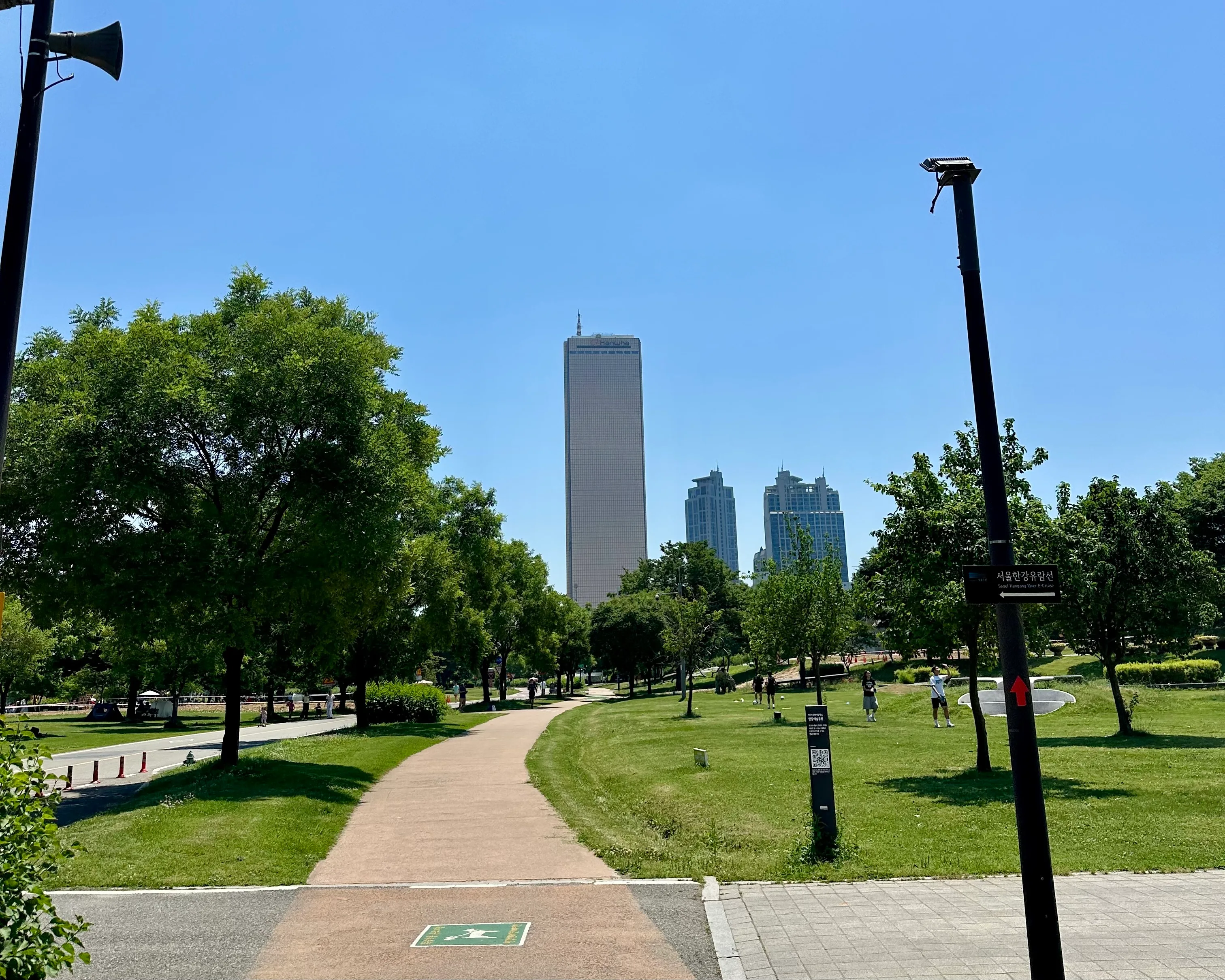
A flat lap of Yeouido island, named for the goguma (sweet potato) it draws on the map. Forested river paths, the 63 Building in gold, and the best-equipped runner hub in Seoul to start from.
- Distance
- 8.6 km
- Elevation
- 22 m
- Difficulty
- Easy
Course map
The route, on the actual map.
GPS-recorded track with points of interest along the way. Click any marker for the local context: water, toilets, CV stores, bridge crossings, photo spots.
- Distance
- —
- Elevation gain
- —
- High / low
- —
Loading map…
Hover the route or the elevation chart
- Distance
- —
- Elevation
- —
- Grade
- —
Restrooms, water fountains, and convenience stores near the route come from official Korean public open data (Seoul Open Data Plaza and data.go.kr). Hours can change, so treat them as a guide.
8.6 km +22 m Easy
How it runs
The route, in five parts.
For ease, convenience and sheer variety, this is the most runnable spot in Seoul, because so much sits within a few minutes of each other. On one side, the Han River park with its water-play fountains, forested eco-streams and wide picnic lawns; on the other, Yeouido proper: skyscrapers, malls like The Hyundai, and the 63 Building reflecting gold over the water. What pushed it to the top of my list is new: the free, government-sponsored Running Station inside Yeouinaru Station. You can show up with nothing and run.
On the map the main loop draws a goguma, a Korean sweet potato, which is where the name comes from. Pancake flat, ringed by river the whole way, with more restrooms than you can count, equally good for a first run in Seoul, a recovery day, or honest speed work. A length for everyone, from a 3 km riverside stroll to a 15 km-plus tour of the whole island.
- 01
Gear up at the Yeouinaru Running Station
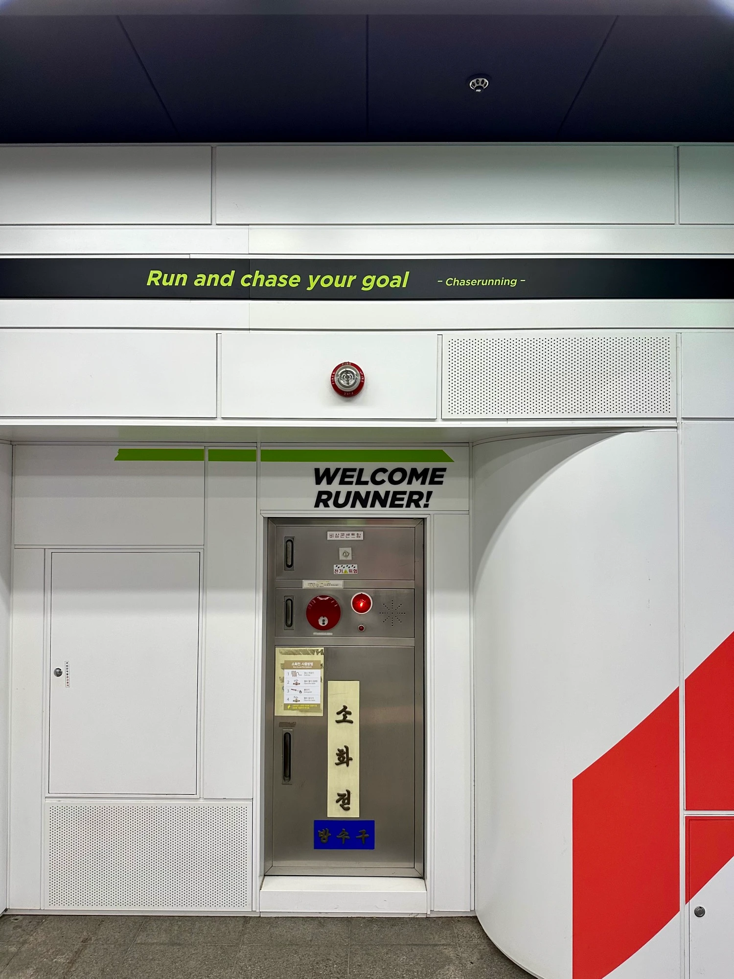
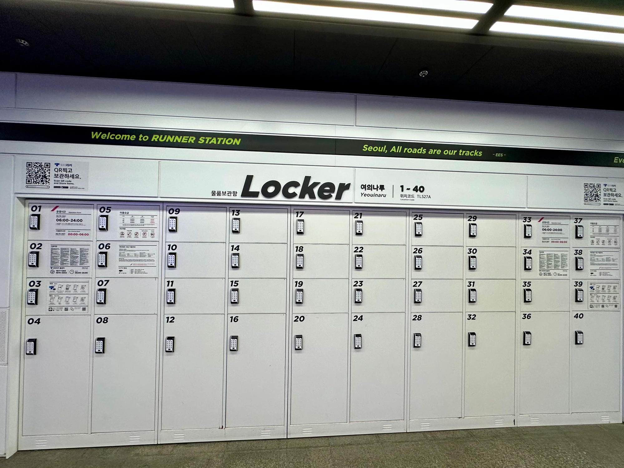
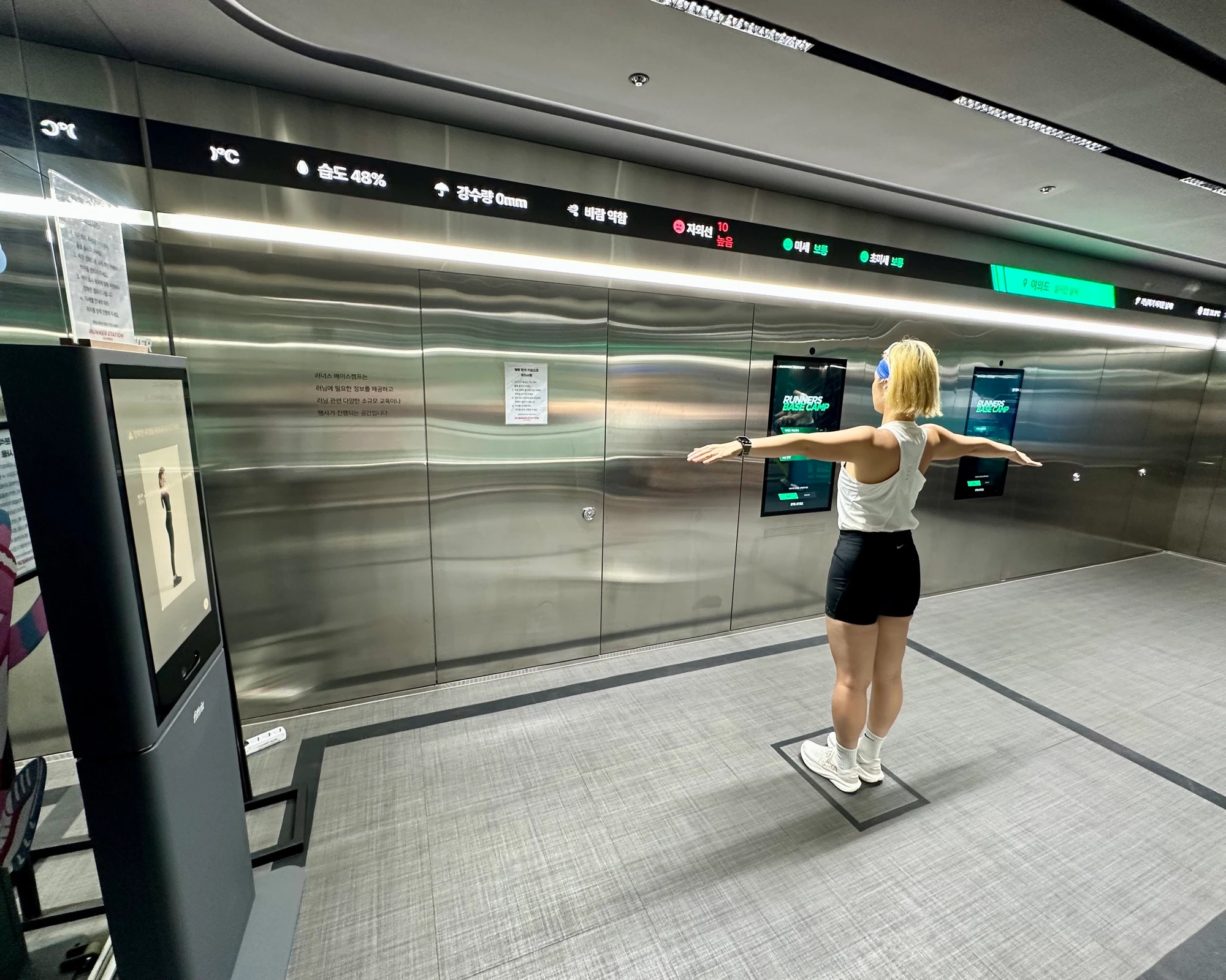
We meet at the Running Station inside Yeouinaru Station (Line 5), a government-built runner hub: lockers, a changing room, a stretching zone, a shoe styler, and a body analyzer that reports on your posture and flexibility, all free and public. Stash your bag, then take the stairs straight down to the river.
- 02
Into the green you would not expect
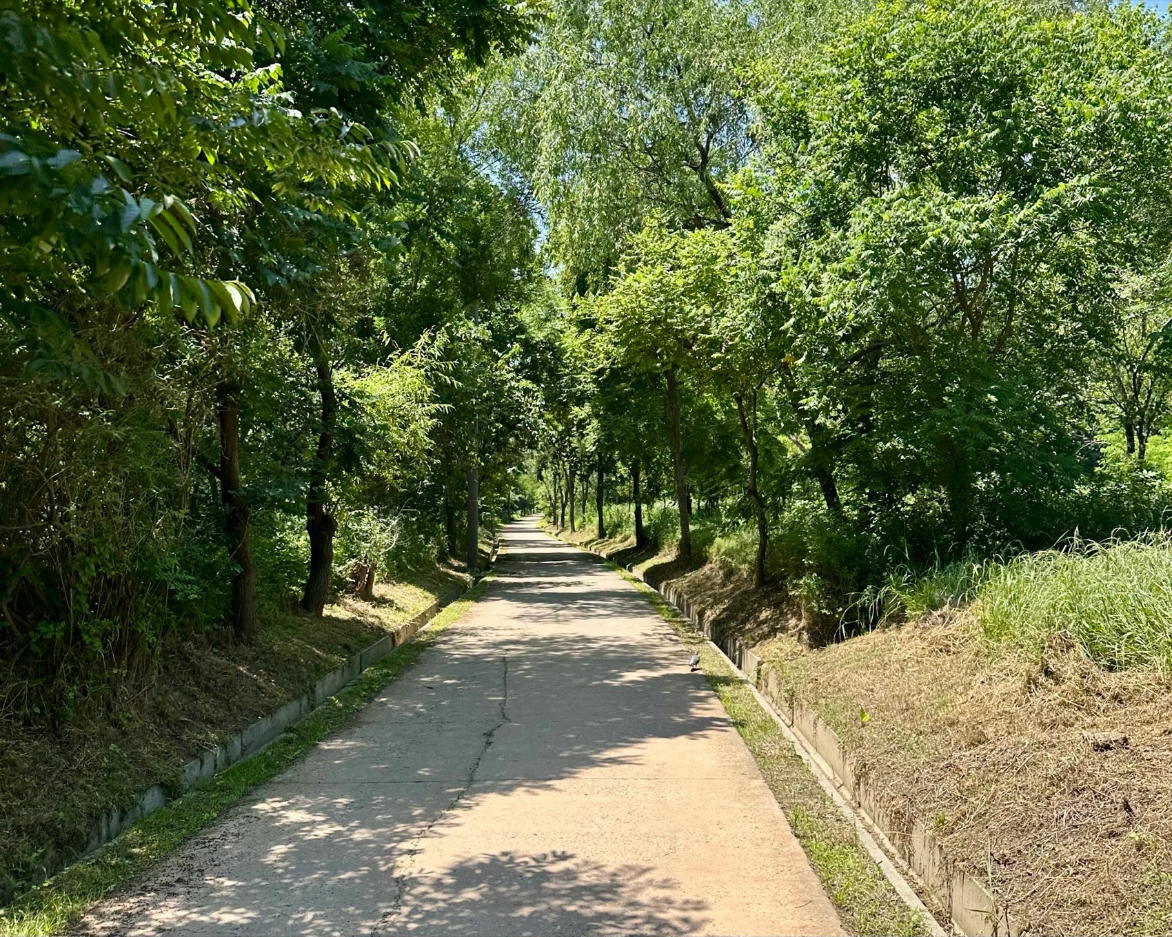
Within a couple of minutes you are on forested park path, eco-streams and tree cover on both sides. It does not feel like Korea’s financial district, but it is.
- 03
The open river and the 63 Building
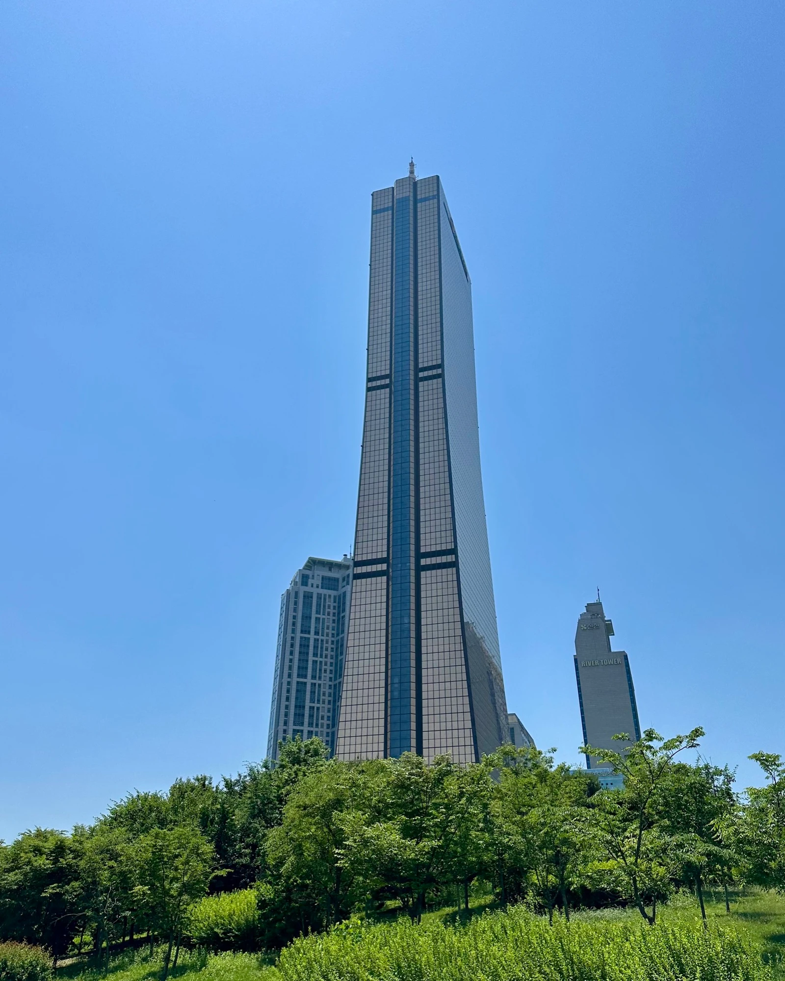
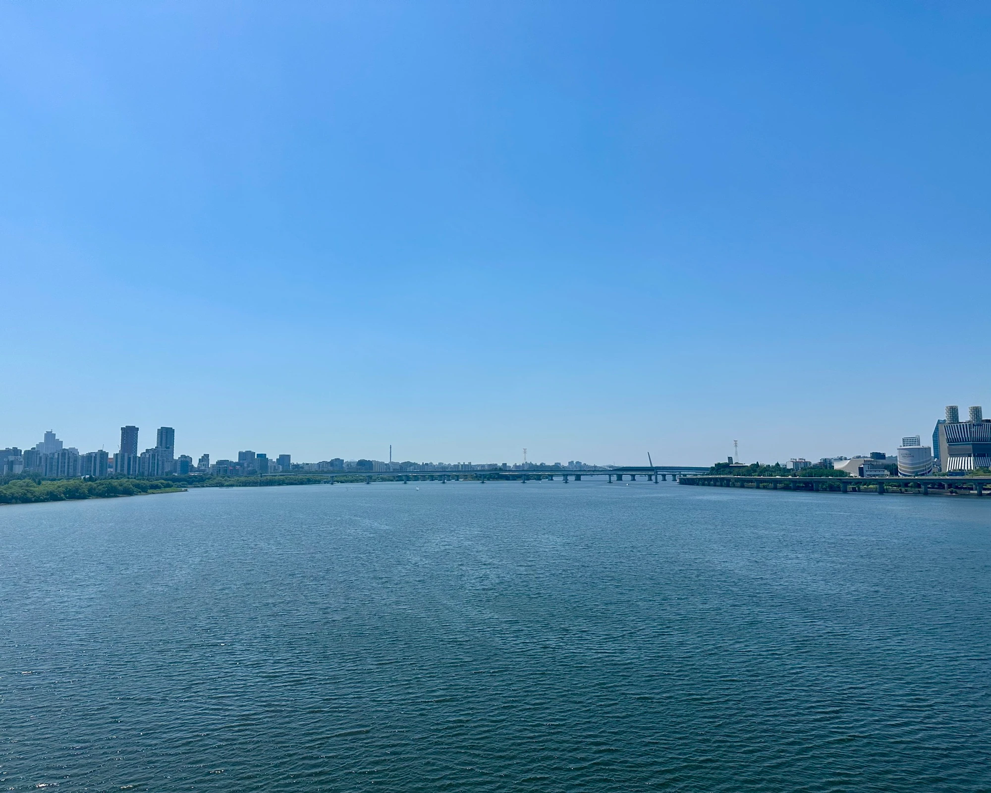
The path opens onto the wide Han River: flat, easy running, water on one side and skyline on the other. The 63 Building rises over the trees and catches the light off the river. Bridges, fountains, and long clear sightlines the whole way.
- 04
The Yeouido island side
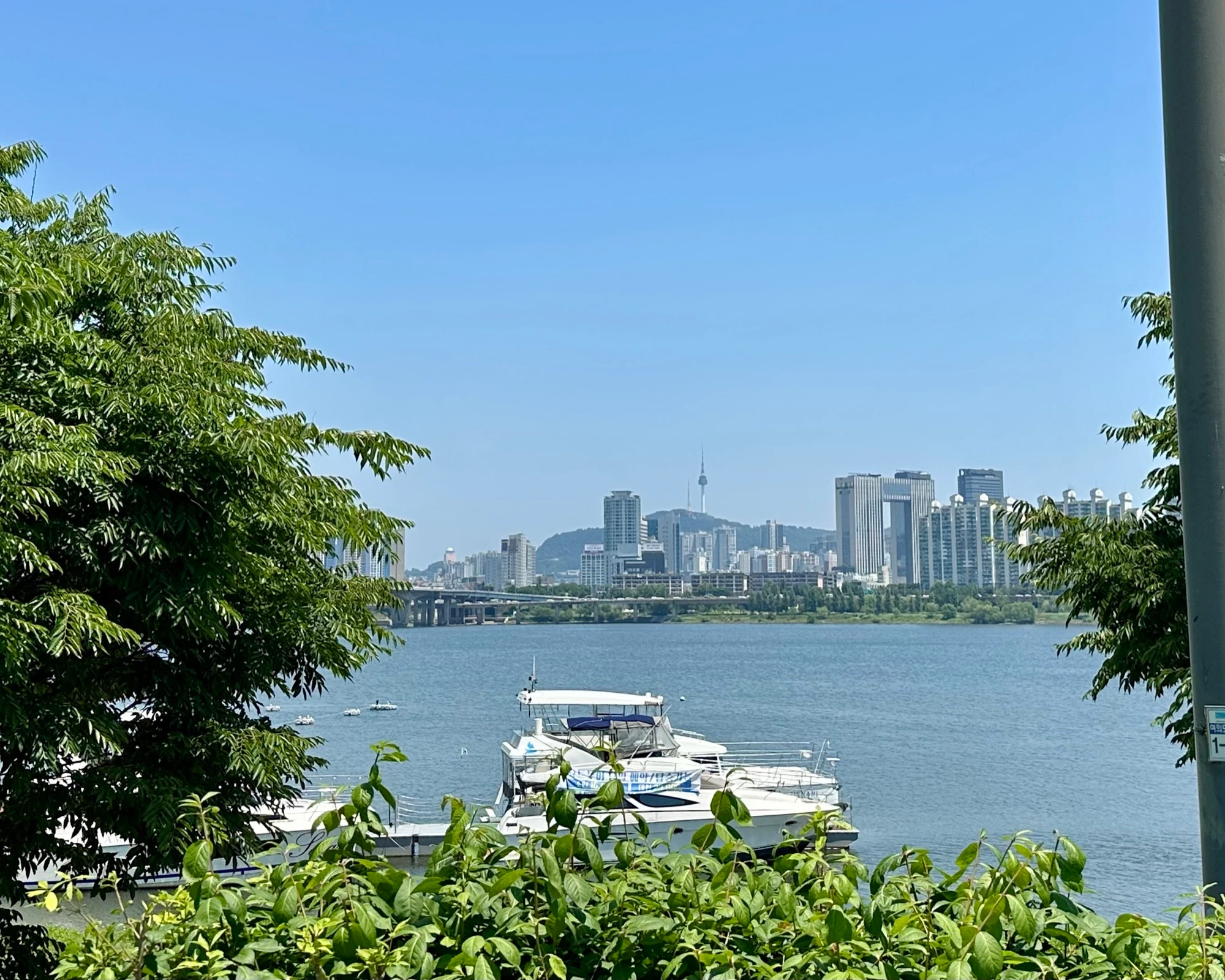
The loop curves back through the island side, financial towers and The Hyundai close at hand, tracing the sweet-potato shape that gives the route its name. Wide pavement, frequent restrooms and water, convenience stores near the station for a cold drink at the end.
- 05
Close the goguma, or keep going
The main loop closes back at Yeouinaru at about 8.6 km. From here it is yours to size: drop to a 3 km riverside stroll, or keep exploring out to 15 km-plus around the full island. Same start, same Running Station to come back to.
Facts
Numbers, surfaces, fountains, toilets.
The things you actually want to know before you head out.
- Default distance
- 8.6 km (the goguma loop)
- Length range
- 3 km riverside stroll → 15 km+ full-island exploration
- Elevation gain
- Flat. A few metres of bridge ramp at most.
- Surface
- Paved riverside and park path throughout
- Traffic exposure
- None on the river path; fully separated from road traffic
- Shade
- Good tree cover through the forested park stretches; exposed along the main river edge
- Water fountains
- Running Station plus multiple park fountains around the loop
- Toilets
- Running Station plus more park restrooms than you can count
- Convenience stores
- Cluster around Yeouinaru and the Running Station
- Running Station
- Inside Yeouinaru Station: lockers, changing room, stretching zone, shoe styler, body analyzer. Free and public, roughly 06:00–24:00.
- Transit
- Subway Line 5, Yeouinaru (start & finish), Running Station inside the station
When to run it
Best time, best season, the honest caveats.
Best time of day
Early morning has the river path quiet and cool and the Running Station already open. Late afternoon into evening is the other good window, when the skyline and the 63 Building light up across the water.
Best seasons
Spring and autumn are ideal: cool air, clear sightlines, and the park lawns at their best for an after-run picnic. Yeouido is Seoul’s cherry-blossom capital, so early April lines the river and the Yunjung-ro road behind the National Assembly with blossom, worth timing a run around. Summer is doable thanks to the tree cover and endless water and restrooms, just run early or late.
Caveats and Plan B
- The main river edge is open and exposed; the forested park stretches give the only real shade. Run early or late in July and August.
- Weekend afternoons get busy near the Running Station, the fountains and the picnic lawns. Wide paths keep it moving, but expect company.
- The Running Station facilities run roughly 06:00–24:00; the river path itself is always open.
From me
Yeouido is where I send anyone who wants to run in Seoul but does not know where to start. It is flat, impossible to get lost on, and now that the Running Station is there you can roll up with nothing, lock your bag, and go. The first time the body-analyzer pad told me my posture age I laughed, then went and stretched the way it told me to.
· Quintin
Where we start
Yeouinaru Station (Line 5), the Running Station inside the station, or Yeouido Hangang Park
Subway Line 5, Yeouinaru. The Running Station is inside the station; take the stairs from there straight down to Yeouido Hangang Park and the river path.
FAQ
Quick answers.
-
What is the Running Station, exactly?
A government-sponsored runner hub inside Yeouinaru Station: lockers, a changing room, a stretching zone, a shoe styler, and a body analyzer that reports on your posture and flexibility. All free and public, roughly 06:00 to 24:00. The reason you can show up with nothing and still have a proper run.
-
How far can we make it?
Anywhere from a 3 km flat riverside stroll to a 15 km-plus loop of the whole island. The main goguma loop is about 8.6 km. A length here for a first-timer, a recovery day, or a hard session.
-
Why is it called the Goguma loop?
Because the main loop, traced on a map, draws a goguma: a Korean sweet potato. Once you see it you cannot unsee it.
-
Is it really flat?
Pancake flat, ringed by river the whole way, with no hills and only the odd few metres of bridge ramp. That is what makes it equally good for an easy first run and for honest speed work.
Take it with you
GPX + interactive map coming with the full runner's guide.
Downloadable GPX, turn-by-turn cues, the elevation profile, and an interactive map land with the full guide. Until then, run it with me, I know every turn.
More Seoul routes
Where to run next.
Mangwon · Han River · Seonyudo
My home-ground route. Start in the city, jump into complete greenery, cross two bridges and end up on a hidden island park most Seoulites have never visited.
- 12.3 km
- Easy
- ~1:15 main loop
The Puppy Run
A loop through the historic heart of Seoul that draws a puppy on the map. Gwanghwamun Square, Gyeongbokgung, the Blue House, the palace-wall lanes and the Cheonggyecheon, all in one run.
- 8.7 km
- Easy
- ~1:10 at an easy pace
The Great Shebang · Mangwon to Jamsil
The whole river. Mangwon out to Jamsil and back: 20+ km on the north bank, 20+ km on the south. A Han River marathon and a whole-day affair.
Coming soon